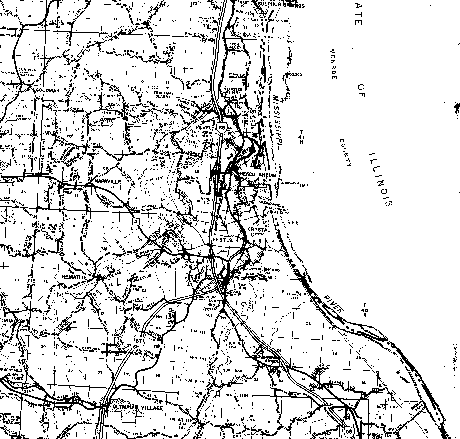
The northern boundary of T41N is the first solid horizontal line from the top of the map (it runs just under Engle Creek Rd). The southern boundary of T40N is the darker, solid horizontal line that runs just north of Olympian Village near the map's bottom edge. The boundary between T41N and T40N is the darker horizontal line at the south edge of the section below Mapaville.
The western boundary of R5E is the first vertical (I use the word loosely) line from the left edge of the map; it runs through the "L" of "Godlman" near the top left corner. The eastern boundary of R6E is the Mississippi River. The boundary between R5E and R6E is difficult to distinguish. For practical purposes, it runs just west of the two eastward "humps" of highway 55 (i.e., it would be a vertical line that would run about through the "L" of "Pevely").
At the bottom of the map, you will notice a large offset between the section boundaries of the southernmost sections of T40N and the northermost sectons of T39N. That offset and the "odd" shapes of the T39N sections that are visible are how the land was actually surveyed (i.e., are not a result of the scanning and map assembly process).