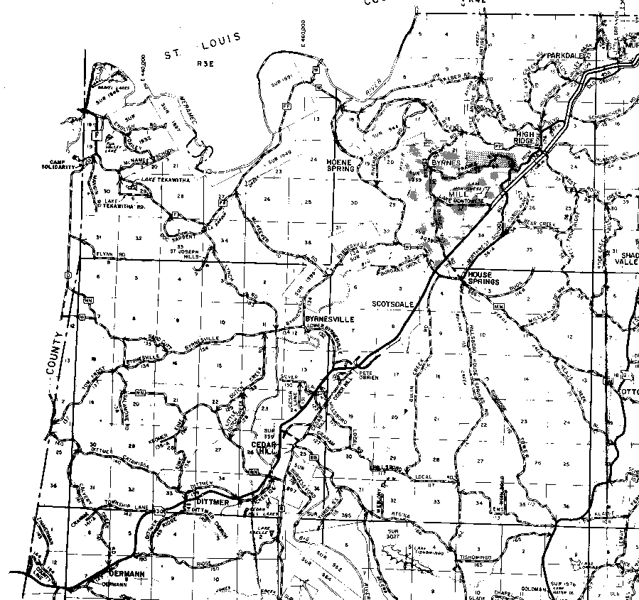
The northern boundary of T43N is the horizontal line at the top of the map in the east, and the Meramec River. The southern boundary of T42N is the darker, solid horizontal line that passes just below Dittmer toward the bottom of the map.
The western boundary of R3E is the first vertical line from the left edge of the map. The portion of T42N,R2E in Jefferson County is the small triangular area to the left of that line. The boundary between R3E and R4E is the vertical line in about the middle of the image that passes through the "O" and "P" of Hoene Spring, and the "S" of Byrnesville.