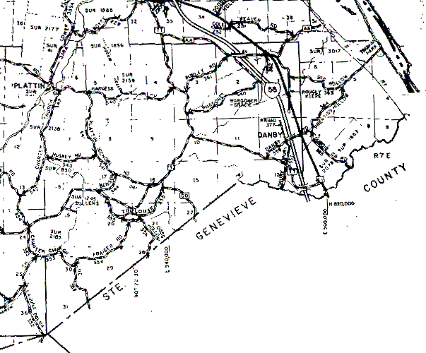
The southwest corner of the portion of T39N,R6E that is in Jefferson County is near the bottom right of the image where four dark lines meet at odd angles. Its western boundary is the dark line running due north from that point. The northern boundary is the darker east-west line one section-width below the top of the image. The eastern boundary is the darker line running due north-south just to the east of Danby. [Note that sections 1 through 6 of this township are very elongated; this is not a mistake in the image, it is the way the survey was actually done.]
The portion of T39N,R7E in Jefferson County is the small, roughly triangular area between T39N,R6E's eastern boundary and the Mississippi River (which is the very dark pair of lines running northwest-southeast in the upper right corner of the image.