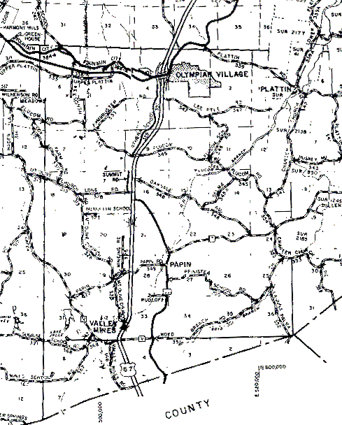
The northern boundary of T39N, R5E is the solid east-west line just above Olympian Village. The western boundary is the solid north-south line running the full height of the map. (The "jog" that occurs in section 6 where it says "Wilkerson Rd" is a result of the joining separate scans; it should be a solid straight line.) The southeastern corner is the place where four lines meet at odd angles in the lower right of the map; the eastern boundary is the line running north from that point, and the southern boundary is the line going west from that point.
Only a small piece of T38N is in Jefferson County. This is the triangular area immediately south of T39N (the Highway 67 "roadsign" is in the middle of it).