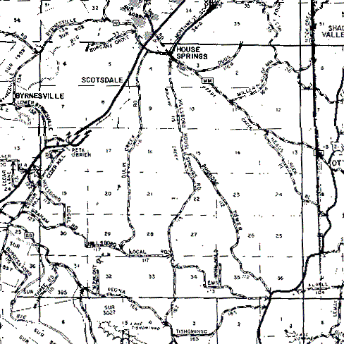
The township is centered in the image. The northern boundary is the dark line just north of House Springs. The western boundary is the first dark, vertical line from the map's left edge, and the southern boundary is the first dark, horizontal line from the bottom of the map. The eastern boundary is the dark, vertical line at the right side that runs the full height of the map. (The relatively wide, very dark, vertical line that ends in a point near the bottom of the map is the result of a crease in the paper map that was scanned.)