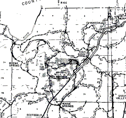
The northern and western boundaries are the first horizontal/vertical lines on their respective map edges. The southern boundary is the horizontal line just above the words "House Springs". The eastern boundary is the first really vertical line from the right side of the map (to its right is a nearly vertical line that is very heavy at its bottom end - the result of a crease in the scanned paper map). The river in the northwest corner of the township is the Meramec.