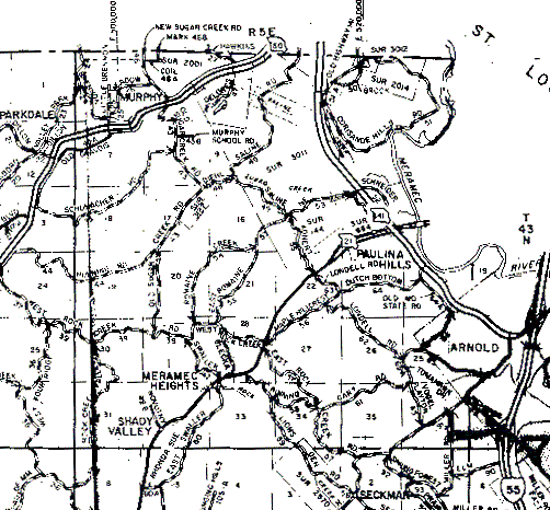
The northern boundary of T43N,R5E is the horizontal line at the top of the map. The western boundary is the first vertical line from the map's left edge, and the southern boundary is the first horizontal line from the map's bottom. The eastern boundary is the vertical line that passes through the "M" of "Elm" just northwest of the highway 55 "road sign" in the lower right corner.